
LOCATION DATA ON-DEMAND
♦ Explore Pivvot’s Nationwide Data Library via Our Platform
♦ Upload Your Data for Visualization & Reporting
♦ Purchase Specific Data Sets for Use in any System
♦ Contract Our Team for Custom Data Needs
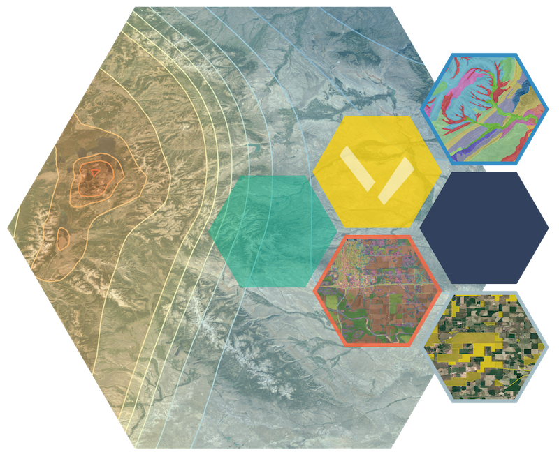
3 WAYS TO ACCESS PIVVOT DATA

Download location data and detailed crossing and impact reports from the Pivvot platform.
Send us an area of interest and we’ll deliver reports and a file geodatabase to be used in any system.

Access our location data directly via a custom integration.

Boundary Data
Understand political and social vulnerability risks to your project.
- Congressional District
- Electric Retail Service Territories
- Energy Regulatory Region
- Natural Gas Service Territories
- Oil & Gas Production Area
- Organizational Boundary
- PHMSA Populated Places
- Public Land Survey
- Public Safety Answering Point
- School Districts
- State Legislative Districts
- Municipal Boundaries
- LiDAR Availability (USGS)

Geotechnical Data
Support construction planning, inform cost estimates and lower operational risk.
- Depth to Bedrock
- Elevation
- Fault Area
- Fault Lines
- Geological Unit
- Enhanced Karst Topography (Terracon)
- Landslide Risk
- Peak Ground Acceleration
- Percent Slope
- *Depth to Water
- *Hydric Soils (Potential Wetland Soil Landscape)
- *Hydrologic Soil Groups
- *Prime Farmland
- *Soil Behavior Class (Terracon)
- *Soils
- *Steel & Concrete Corrosivity
*gSSURGO layer

Hydrology Data
Inform permitting requirements and project planning.
- Aquifer
- Commercially Navigable Waterway
- EPA Protected Waterbody
- 100-Year Flood Plain
- 500-Year Flood Plain
- Levee
- NHD Flowline
- NHD Waterbody
- NWI Wetlands
- Watershed
- Wild & Scenic Rivers
- USGS Stream Gauges

Land Use & Property Ownership Data
Understand zoning, support land acquisition planning, and prepare cost estimates.
- Property Parcel
- Land Cover
- Land Ownership Conflicts
- Agricultural
- Commercial/Industrial
- Conservation/Environmental
- Cultural/Heritage
- Education/Research
- Energy/Resource Extraction
- Government
- Hazard/Remediation/Waste
- Low Mobility/Gathering Place
- Military
- Native American
- Recreation
- Residential

Energy & Infrastructure Data
Examine colocation opportunities, understand material needs, and develop permitting punch lists.
- Communication Towers & Obstacles
- Contaminated Sites
- Electric Transmission Powerline
- Electric Transmission Substations
- Existing Pipeline
- Fifty Foot Structure Buffer
- Greenhouse Gas Emitters
- Interconnect Queue
- Points of Interest
- Cemeteries
- Federal Registered Sites
- Railroads
- Roads
- Trails
- Wind Turbines

Jurisdiction Data
Understand Federal, State and County permitting to avoid scheduling delays.
- County Boundary
- Dept. of Transportation Districts
- Municipal Boundary
- State Boundary
- U.S. ACE Districts
- U.S. BIA Regions
- U.S. BLM Admin. Units
- U.S. BOR Regions
- U.S. DOI Regions
- U.S. EPA Regions
- U.S. FEMA Regions
- U.S. Federal Lands
- U.S. FWS Regions
- U.S . FS Regions
- U.S. NMFS Regions
- U.S. NRCS Regions
- U.S. Tribal Lands

Community & Society Data
Evaluate social vulnerability and identify opportunity zones.
- Environmental Justice
- Social Vulnerability

Ecology Data
Reduce ecological and environmental impact and evaluate permitting needs earlier in process.
- Critical Species Habitat
- Ecosystem Region Boundary
- Species Habitat
- Species Range

Weather Data
Understand historical weather events to evaluate insurance costs.
- Hail Events
- Lightning Strikes
- Tornado Events
- Wind Events

CUSTOM DATA SERVICES
Not seeing the data you need?
Our data specialists are available. With expertise in geospatial data management, we’re able to save you time and money on your location data sourcing, preparation and analysis. Ask us about the following services:
- Identify, Collect and Organize New Data Sources
- Collate Relevant Data to Derive Deeper Insights
- Conduct Quality and Accuracy Checks
- Design Data Approaches for Your Company
- Interpret and Analyze Location Data
Contact us to learn more!