Pivvot Siting
Speed up site selection for your next project and get to construction faster. Pivvot streamlines site analysis with location intelligence.

EXPEDITE SITE SELECTION
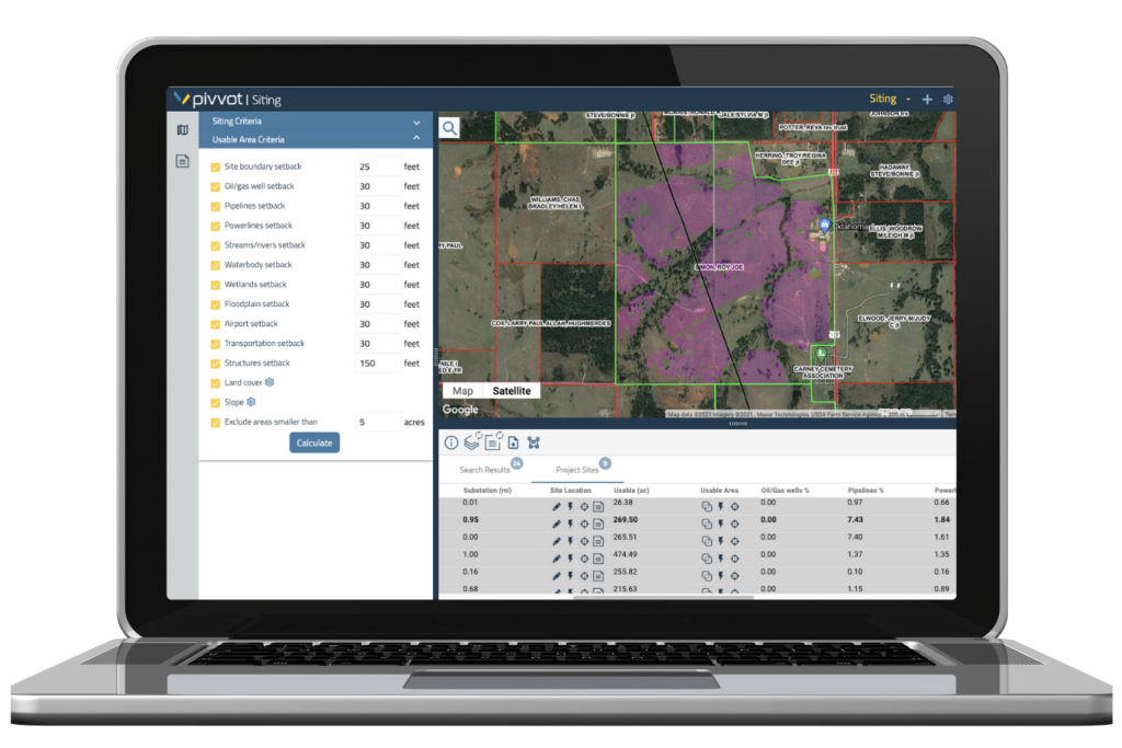
Reduce siting time and usable area analysis from days to minutes. Evaluate parcel, environmental, wetland, and geotechnical data. Identify and analyze suitability for your next project site.
VISUALIZE DATA IN SECONDS
- Set project criteria to identify sites by acreage, proximity to existing infrastructure, and land ownership.
- Visualize critical species habitat, floodplains, wetlands and hundreds of additional datasets.
- Identify adjacent and nearby parcels with Pivvot’s enhanced parcel data.
EVALUATE USEABLE AREA
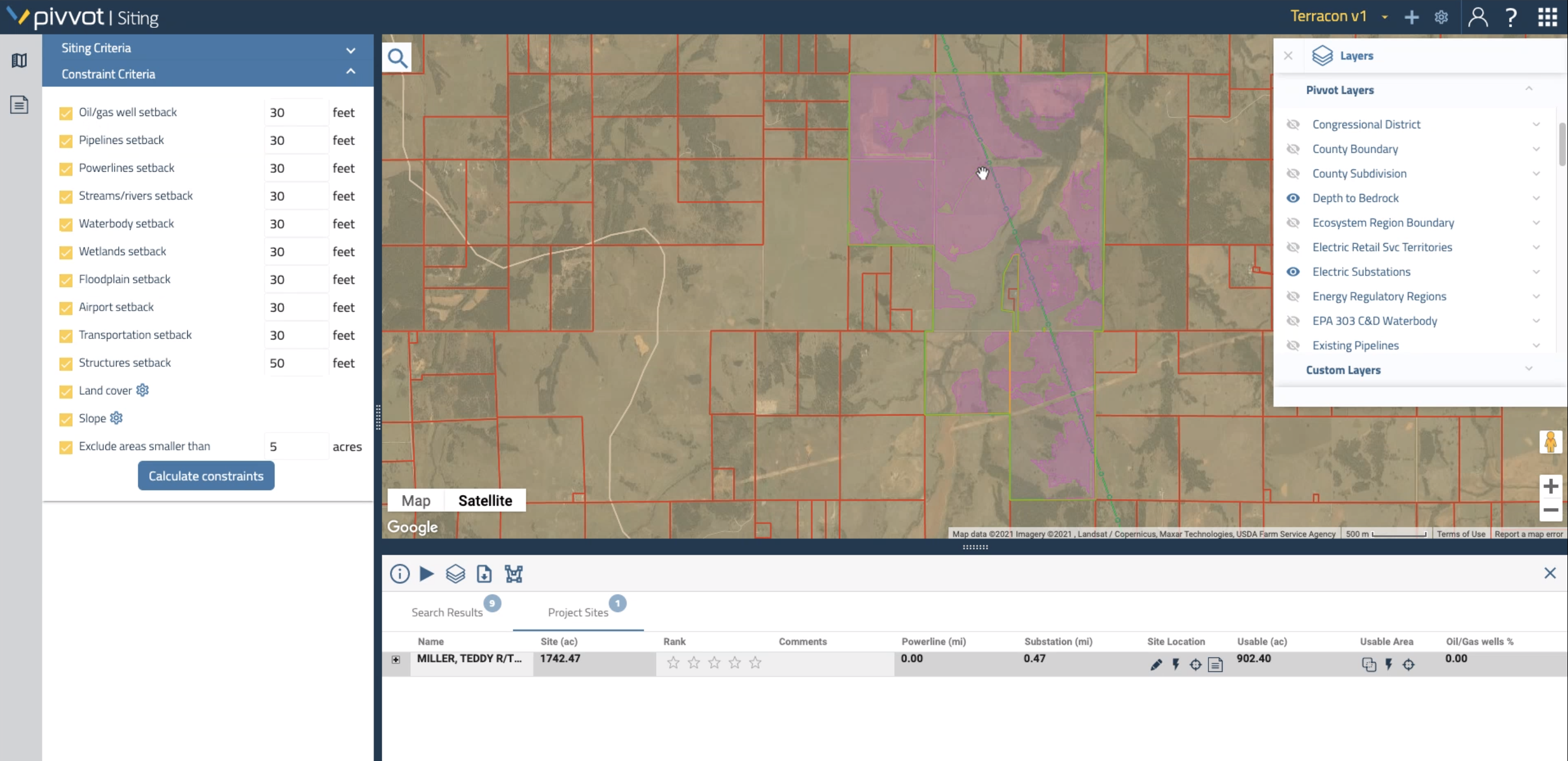
- Set renewable-specific constraints to calculate usable area in seconds.
- Compare sites side-by-side to identify and rank your top options.
- Export constraints and data to collaborate with other stakeholders.
AVOID PROJECT ROADBLOCKS
GET A DEEPER UNDERSTANDING OF EXPECTED CONDITIONS
- Utilize high-resolution slope, hydric soils, and other data to get a deeper understanding of potential issues.
- Identify adjacent and nearby parcels owned by the same landowner to identify access roads and alternative locations.
- Export landowner contact lists to expedite landowner outreach and negotiations.


