Location intelligence for complex infrastructure and development decisions
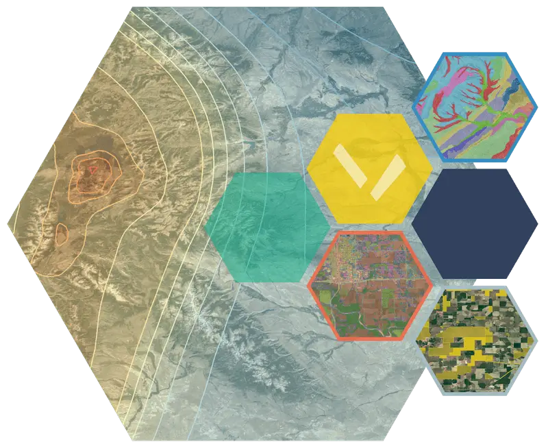
Pivvot provides spatial analytics across the mainland United States to help GIS professionals, engineers, planners, utilities, energy developers, and AEC organizations answer complex, location‑driven questions related to land, infrastructure, environmental risk, and asset planning. Pivvot delivers the data and tools needed to assess site and route suitability, uncover environmental and permitting risks, and accelerate development across multiple industries. Find your industry below.
Identify viable sites and routes, uncover potential constraints, and generate the reports needed to support regulatory review and project decisions for energy transmission grid and line development or expansion.Learn more.
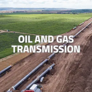
Accelerate oil and gas transmission pipeline projects with the spatial data and location analysis needed to evaluate routes, identify risks, assess environmental impact, and address permitting requirements earlier.Learn more.
Accelerate data center, fiber, and telecommunications development by identifying viable sites and routes earlier. Pivvot brings critical land, power, infrastructure, and environmental data together so teams can compare opportunities, uncover constraints, and focus resources on projects with the strongest development potential. Learn more.
Using Pivvot’s location data intelligence, environmental teams can quickly uncover and evaluate constraints, compare sites, understand crossings and impacts, and generate defensible reports to support project decisions and keep initiatives moving. Learn more.
Spatial analytics software and data to accelerate site suitability for solar, wind, and battery storage projects with faster site analysis, usable acreage evaluation, and interconnection routing. Learn more.
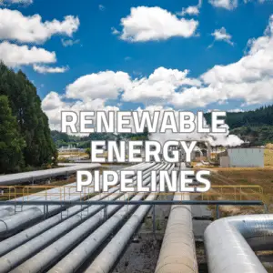
Whether building a natural gas, CO2, hydrogen, or geothermal projects, Pivvot has comprehensive environmental, land use, jurisdiction, soils, and ownership data so you can quickly identify preferred sites and routes, assess environmental permitting constraints and requirements, and evaluate potential right-of-way conflicts. Learn more.
Pivvot reduces manual data collection while supporting more accurate estimates, faster site and route analysis, and efficient project delivery for your clients’ siting and routing projects. Learn more.
With Pivvot, you can reduce permitting delays, improve cost estimates, and minimize time gathering data to plan rail projects with a clearer understanding of land, environmental, infrastructure, and property constraints. Learn more.
Is your industry not listed? Contact us and let’s talk. With more than500 available datasets, Pivvot can be useful across many industries.
With a subscription to thePivvot platformordatasets, your team can find answers to your site evaluation questions and more in minutes, not weeks.
Annual Pivvot platform subscription enables you to upload your own asset data and create projects with unlimited users within your organization.Learn more.
Custom Integration – Your platform, our data. Access our ready-to-integrate spatial analytics data directly via custom integration API or secure digital file.Explore.
Pivvot Services – When time is short or your internal capacity is stretched, we become part of your team and turn your area of interest into actionable data that works seamlessly in your existing systems. Send us an area of interest and our team of experts and professionals will deliver reports and a file geodatabase to be used in any system. Learn more aboutPivvot Services
Source – Access Pivvot data through Data as a Service (DaaS). We’ll provide Source datasets to your GIS system via the Cloud, file transfer, API, or custom integration. You can subscribe to individual datasets or to the entire Pivvot database.
Ready to see what Pivvot can do for your team or enterprise?